GIS mapping services helps rural communities affordably map their water and wastewater systems.
GIS Mapping
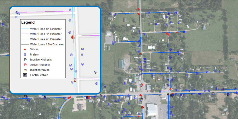
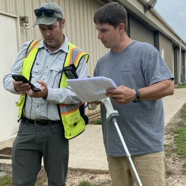
A geographic information system (GIS) is a system for capturing, storing, checking, and displaying data related to positions on Earth’s surface. GIS can show many different kinds of data on one map. At Communities Unlimited we use the technology primarily to map water and wastewater systems, although there are multiple applicable uses for rural communities. Our GIS team is part of our Environmental Systems department and often works in conjunction with our Technical Assistance Providers, Management Consultants and Regionalization experts to meet the needs of communities.
Why should I map my system?
GIS (Geographic Information Systems) have many uses in rural communities:
- You will know where all infrastructure components are located and be able to find them quickly
- You can easily share information with new staff or city officials
- It can be used as part of your emergency response plan
- You will be able to query assets that need to be replaced or repaired along with a cost value to plan for your next budget year
- Easily provide the Fire Chief or other city official with an up-to-date map of all hydrants or other infrastructure components
It's all in the data
How Can I Use My Data?
- You can print maps on water-resistant paper
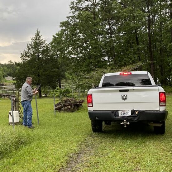
- Access maps via GPS handheld units or a smartphone/tablet
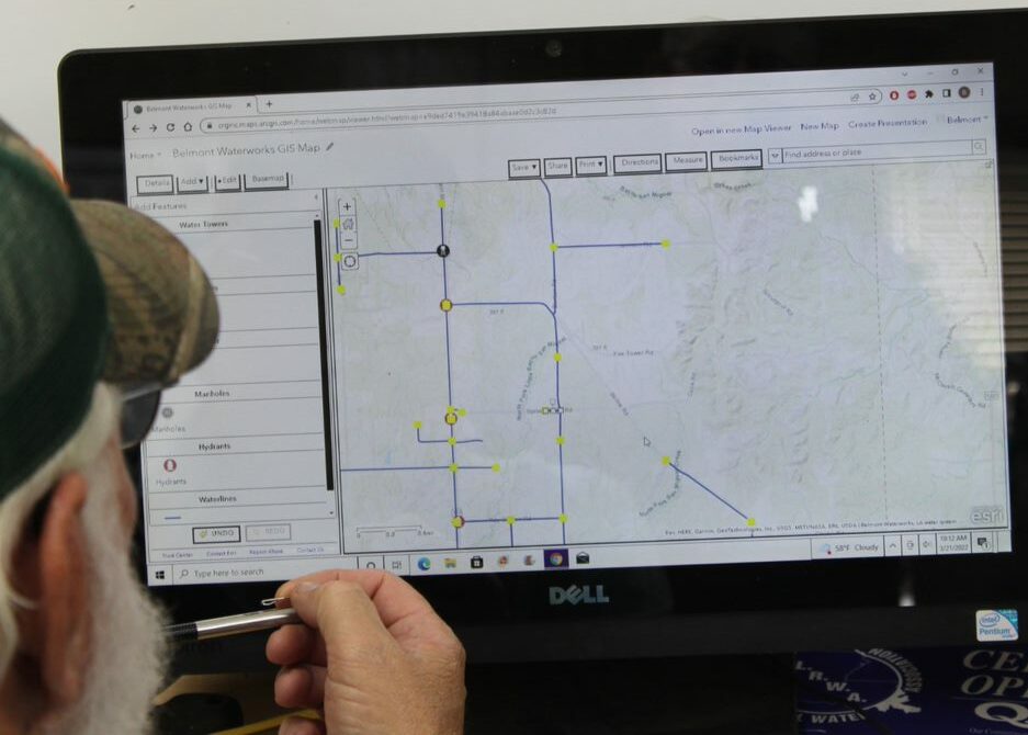
- You can run ArcGPS Desktop software locally or, using ArcGIS online portal which works with the GIS Collector App (Collects data via smartphone or tablet with cellular data service)
- You can use the ArcGIS online portal to keep maps up-to-date whether the change in data is a small or large one
- Provide backup of data in case of computer failure
What Happens To The Data?
You own your data and can transfer it to any partner such as an engineer at anytime.
We can provide secure cloud-based backup of your data capable of restoring it, should it need to be, within 1 business day.
Your data is secure and available only to your designated users.
Get Started
GIS Mapping is turnkey. We will collect the data and turn it over to you ready to go, in electronic form or create the map for print.
We also provide on-site training. We will train your staff to collect data; update the map and use the technology of your choice including smartphones, tablets, hand-held GPS devices, computer software and more.

Don Becker

Trent Neathery

Alex Webb

Harrison Brown
GIS Mapping Stories

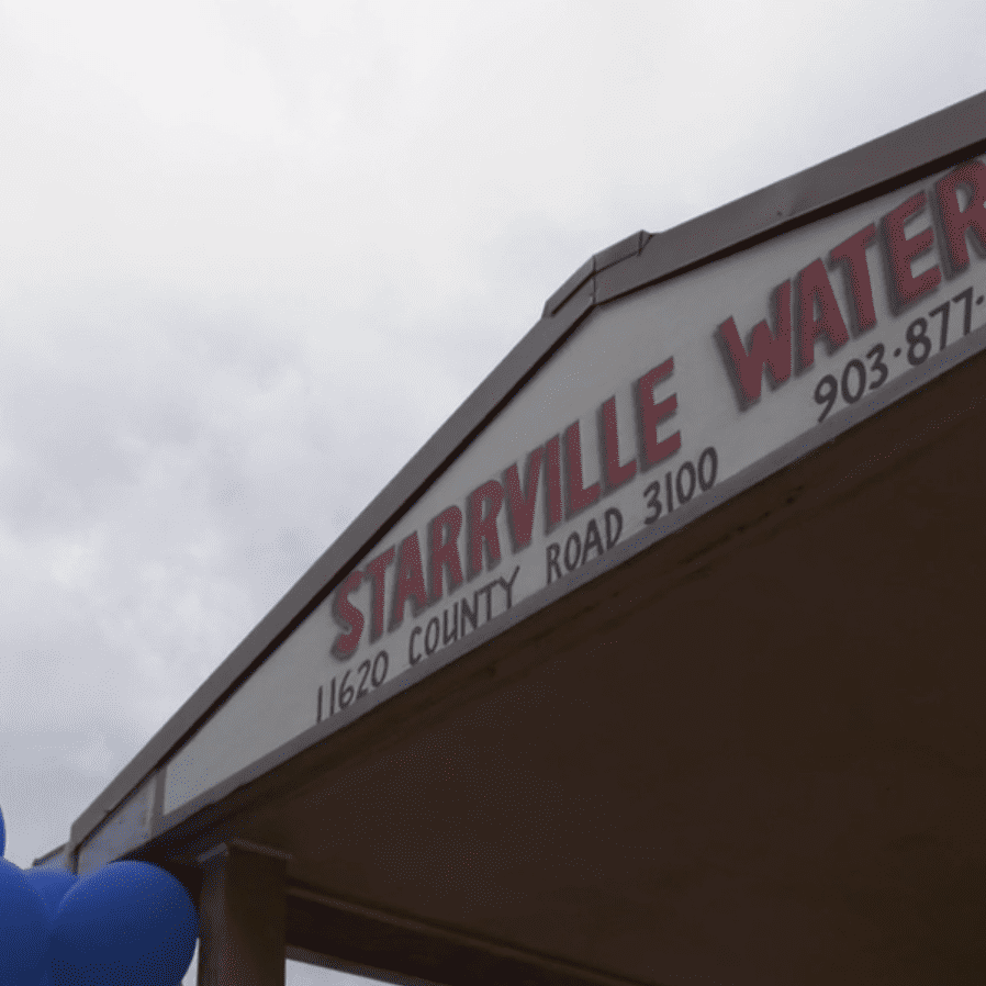
Unearthing History: Archaeological Dig Unites East Texas Community
An East Texas Community keeps an eye on it's past while charting it's future

Cutting-Edge GIS Tech Empowers Louisiana Water District
A rural Louisiana Water District is empowered and more efficient after completing a GIS project…

Small Talk Episode 21
Join Trent Neathery, GIS maestro at Communities Unlimited, as he guides us through rural community…
Small Talk Episode 20
Unlock the secrets of Geographic Information Systems (GIS) and how they revolutionize community…