A small-town cemetery with deep roots in southeastern Oklahoma’s history is now one of the most precisely documented burial grounds in the region. A partnership between local preservationists and Communities Unlimited (CU) made it happen.
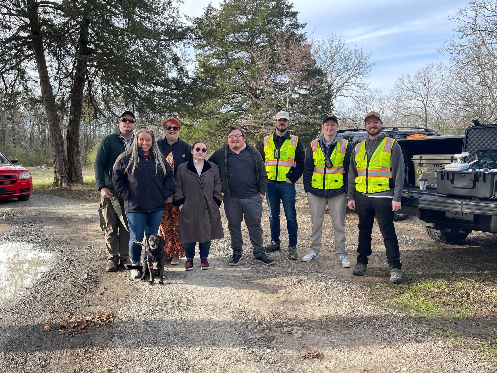
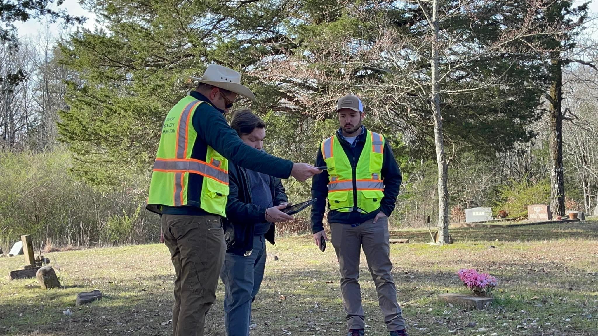
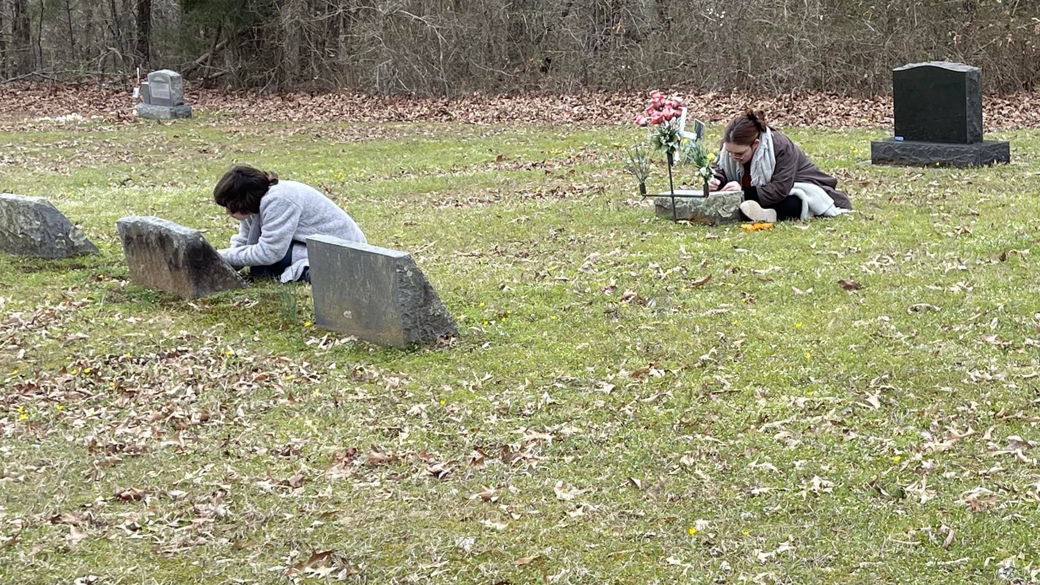
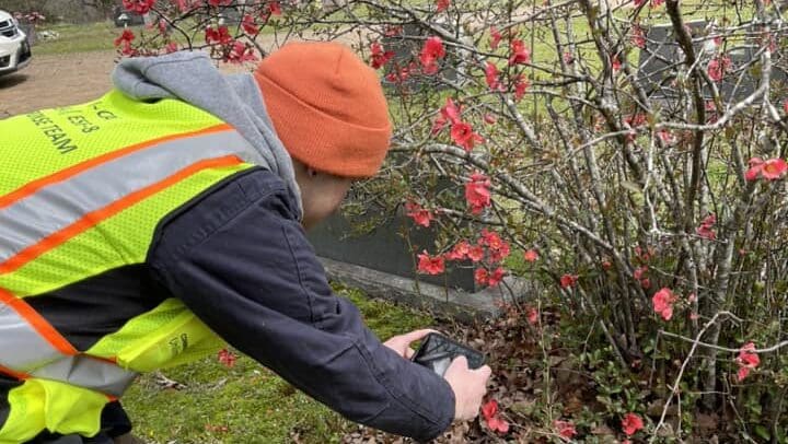
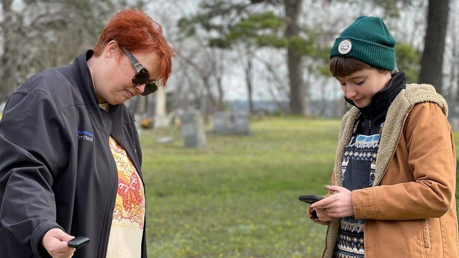
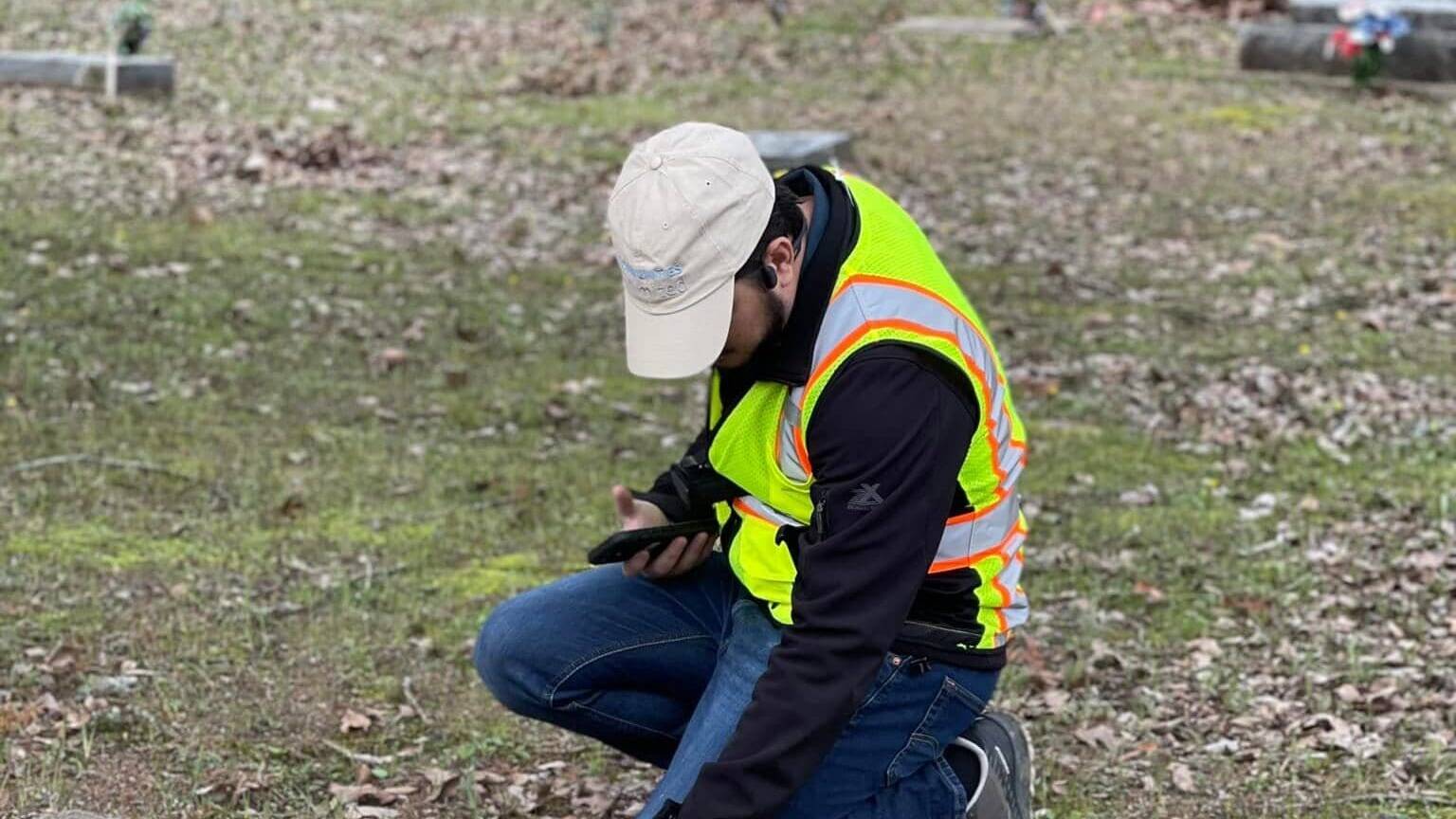
In just three days in March 2023, more than 2,000 graves in Old Talihina Cemetery — located in LeFlore County, about 30 miles east of the county seat of Poteau — were cataloged. CU’s Geographic Information Systems (GIS) Team, in collaboration with the Talihina Historic Preservation Office and local volunteers, logged GPS coordinates, photographed each site, and compiled the data into a searchable database.
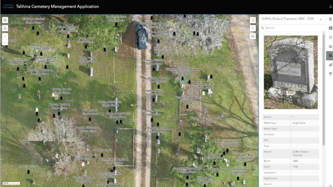
The result is a high-resolution, interactive digital map that allows users to locate gravesites within inches of their actual position.
“Honestly, it was mind-blowing,” said Reno Crims, Director of the Talihina Historic Preservation Office. “We worked closely with Don Becker from CU’s GIS Team. He asked what data we had in advance — so we gave him that old listing and whatever we could gather. Using Google Earth, he estimated we’d need about three days to do the full survey. That seemed way too fast for us — it’s a big cemetery — but he was right.”
Before the mapping project, Reno and his wife Kamille had already been working to preserve Talihina’s history — gathering photos, documents, and oral stories with the help of local volunteers. As they considered forming a nonprofit, they wanted their first project to make a meaningful impact.
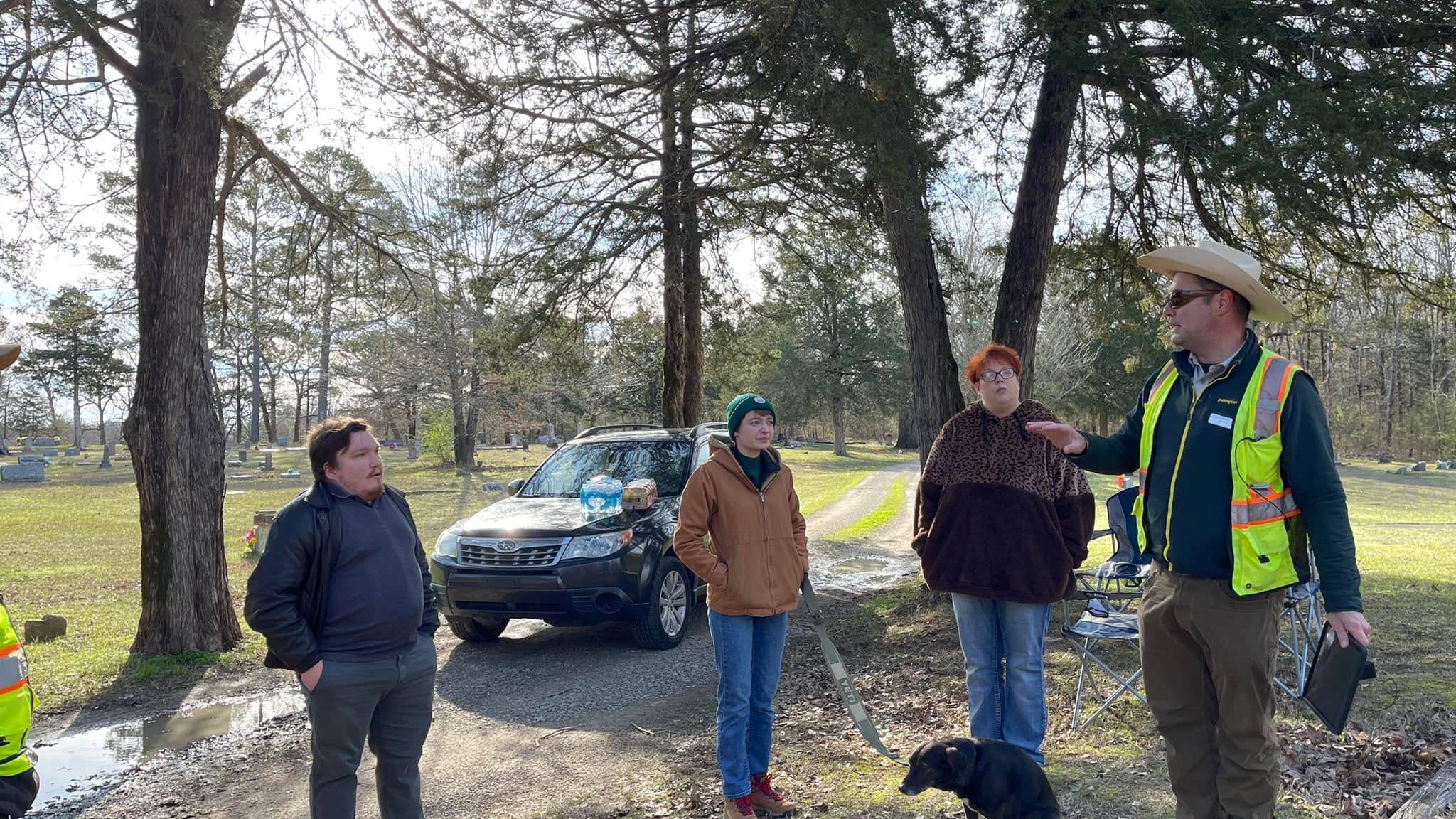
At a community meeting co-hosted by CU’s Community Sustainability (CS) Team and the Chamber of Commerce at the nearby Kiamichi Technology Center, the Talihina Historic Preservation Office presented several ideas. CU’s CS Team connected them with the GIS staff, who suggested that cemetery mapping could be a perfect fit.
“We learned about CU’s GIS Team, and they thought cemetery mapping might be a great fit,” Crims said. “It was a project that hadn’t been done before, but it was something they had the tools to help us with. We all got excited — it felt like an opportunity to do something not just meaningful but pioneering.”
With support from CU CS staffer DeAnna O’Malley and GIS Coordinator Don Becker, the project moved quickly from concept to reality. Over three days, the team logged 2,013 individual points — marking headstones, footstones, and unmarked graves — with each GPS tag linked to data such as names, dates, inscriptions, and marker types.
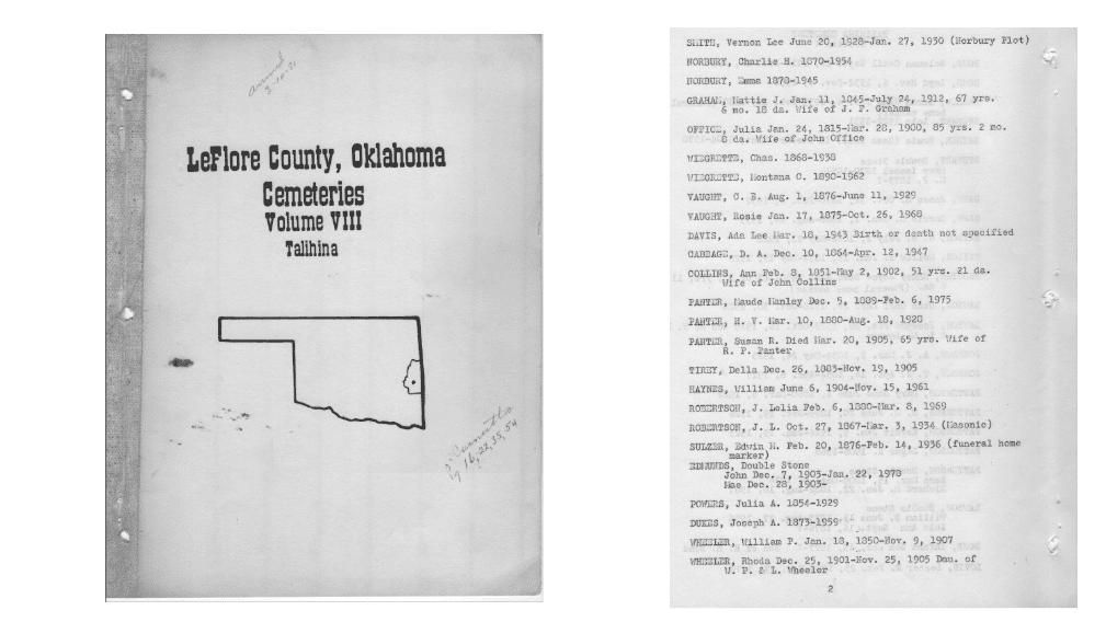
Much of the foundational information came from a 1980 cemetery census conducted by the Poteau Valley Genealogical Society (PVGS), which served as a critical starting point.
“That older census was a gold mine, and we built our database off of it,” Crims said.
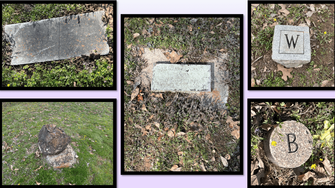
Even with that valuable resource, the process revealed how much had been lost. Several hundred graves documented in the ’80s could no longer be located — many once marked only by funeral home signs that have since disappeared.
Before the new system, locating a specific grave was often a frustrating guessing game. The only reference was a rough section map created by PVGS, dividing the cemetery into large plots with only an alphabetical list of burials per section.
“People often called City Hall, the Chamber, or anyone they thought might know,” Crims said. “But unless someone from the Cemetery Association happened to remember, it was kind of a guessing game.”
That’s changed.
The digital map, now publicly available online, has already helped families reconnect with their heritage. In late 2023, Lisa Payne and her husband traveled from Utah to visit the graves of her grandparents, Howard and Alley Payne. Her father, Major William R. Payne — a U.S. Air Force pilot born in nearby Albion who once set a world record flying a B-58 Hustler from New York to Paris — had long ties to the area.
Using the system, Crims quickly located the graves and sent Lisa a screenshot. Within an hour, she had everything she needed — no in-person assistance required.
“That’s the kind of transformation this technology allows,” Crims said.
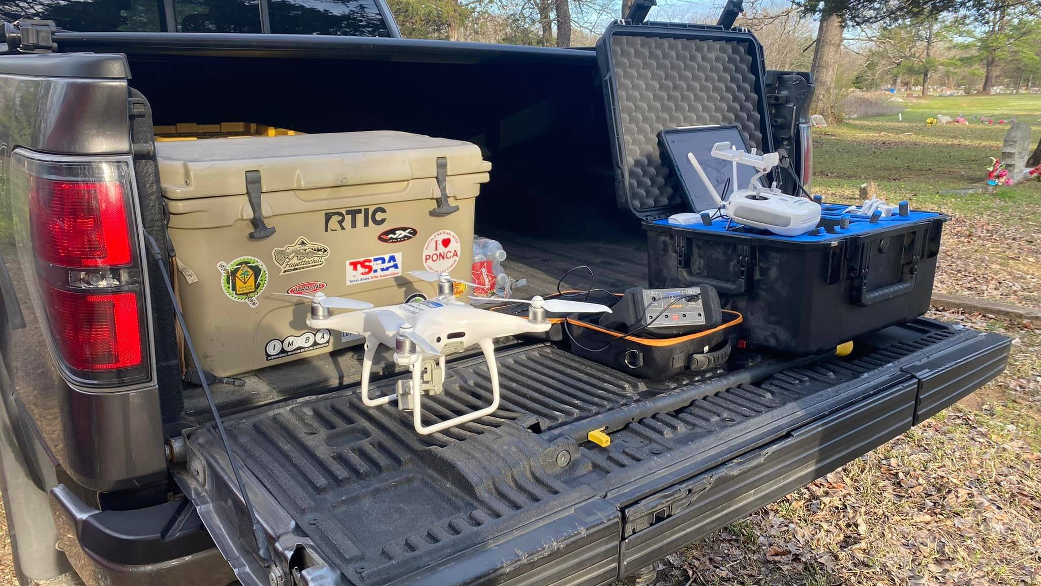
CU also used drone videography to generate a 3D model of the cemetery, which was stitched into an orthomosaic map — a highly accurate, top-down photographic map created from multiple images. The map is viewable in ArcGIS, a geographic information system used to analyze and share spatial data, with sub-meter location accuracy.
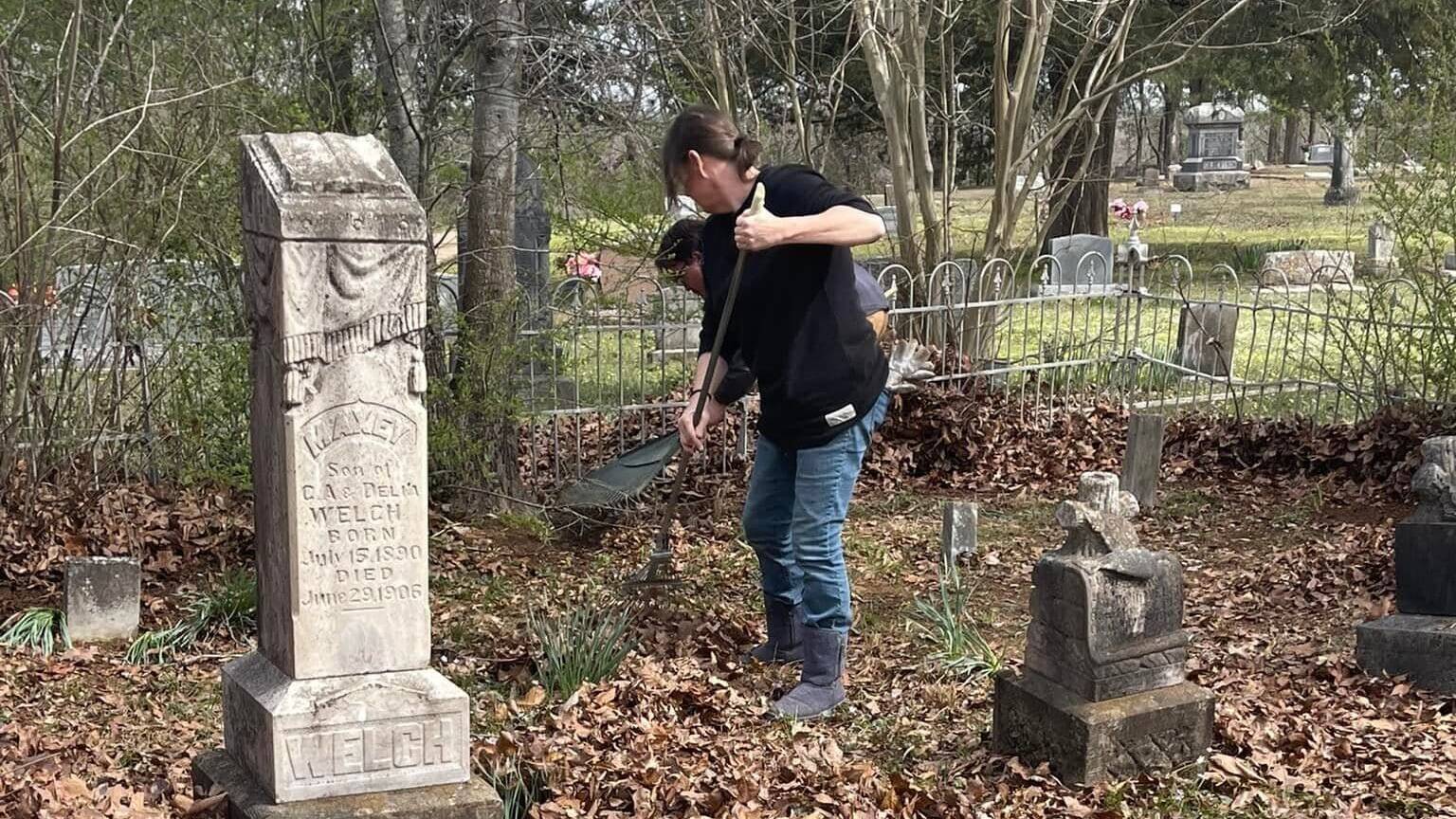
Crims said the impact goes beyond locating graves. The tool has improved maintenance, enabled tracking of vandalism over time, and provided a visual record of the cemetery’s condition. The community continues to use it regularly to help preserve and honor its history.
The project also uncovered valuable historical insights. Veterans’ graves were accurately located, long-held assumptions about the layout were confirmed, and the team gained a deeper understanding of demographic changes over time. One key finding: non-segregated burials dating back to the 1890s, offering a clearer picture of Talihina’s social history.
Crims emphasized that the collaboration itself was as meaningful as the outcome. He credited DeAnna with helping focus the project and said Don far exceeded expectations.
“We originally thought we might just update that old list. But this became something you’d expect from a state or national cemetery. The fact that our little community — without even being a county seat — now has access to that level of documentation is amazing. Communities Unlimited gave us an opportunity that communities like ours rarely get and delivered something beyond what we thought possible.”
— Reno Crims, Director of the Talihina Historic Preservation Office