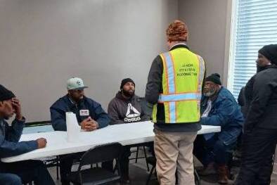
EMPOWERING RURAL COMMUNITIES TO DEVELOP AND MAINTAIN ACCURATE LOCATION INFORMATION
GIS MAPPING
What We Do
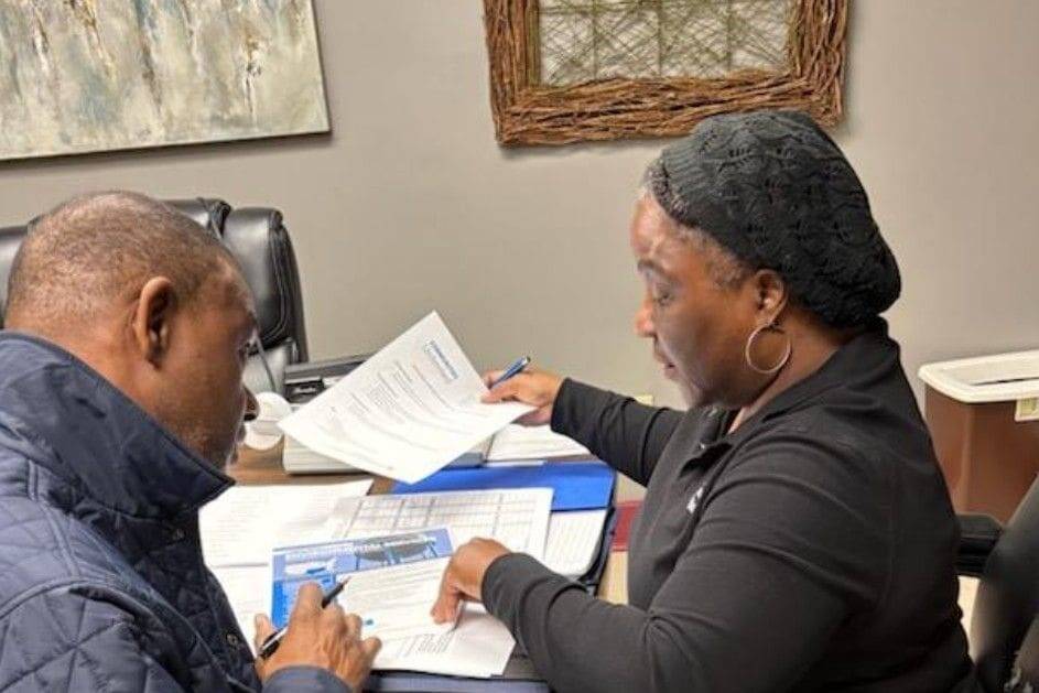
Communities Unlimited offers geographic information system (GIS) mapping services that empower communities to develop and maintain accurate asset location information.
Let's Talk
What Is GIS?

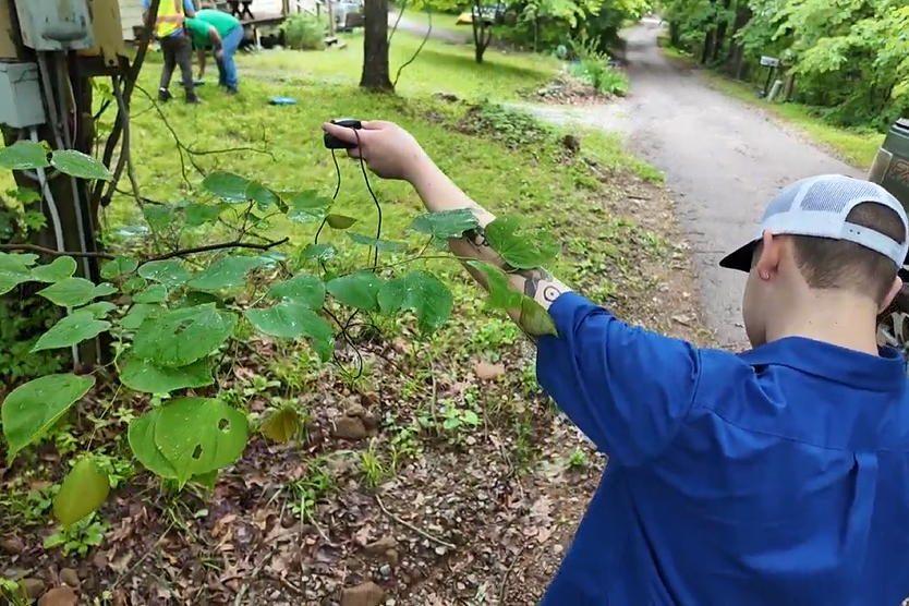
A geographic information system (GIS) captures, stores, checks, and displays data tied to locations on Earth’s surface, allowing multiple layers of information to appear on a single map. Maps can be printed on water-resistant paper or accessed through GPS units, smartphones, and tablets. GIS can be used through ArcGIS Desktop or the ArcGIS Online portal with the Collector App, enabling real-time updates of any size and maintaining reliable backups in case of computer failure.
You own all your data and may share it with partners, such as engineers, at any time. We also offer secure, cloud-based backups capable of full restoration within one business day, ensuring your data remains protected and accessible only to your authorized users.
USES
Utilities
- Quickly locate infrastructure components
- Easily share system information with staff or officials
- Support emergency response planning
- Identify assets needing repair or replacement
- Provide up-to-date hydrant and infrastructure maps
Infrastructure Planning
- Visualize roads and public facilities
- Spot areas needing new infrastructure
- Analyze traffic and utility coverage
- Estimate project costs and impacts
- Coordinate plans with contractors and agencies
Community Assets
- Map parks, trails, and recreation areas
- Track community buildings and public art
- Highlight sites for redevelopment
- Show community resources for public engagement
- Strengthen grant and funding applications
Historical Preservation
- Map historic buildings, landmarks, and cemeteries
- Monitor changes to protected areas
- Plan heritage tours and educational projects
- Maintain accurate cultural resource records
- Give officials quick access to historic site data
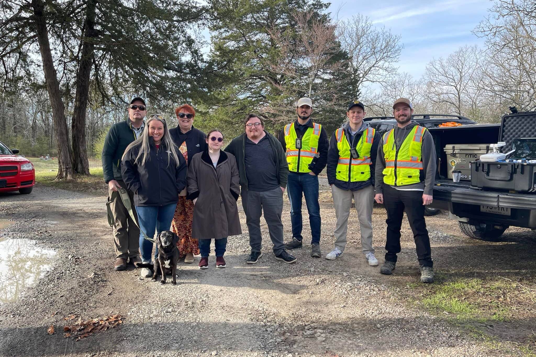
As the southern regional affiliate of RCAP (Rural Community Assistance Partnership, Inc.) we provide managerial, technical, and financial assistance to Alabama, Arkansas, Louisiana, Mississippi, Oklahoma, Tennessee and Texas.
GIS Stories
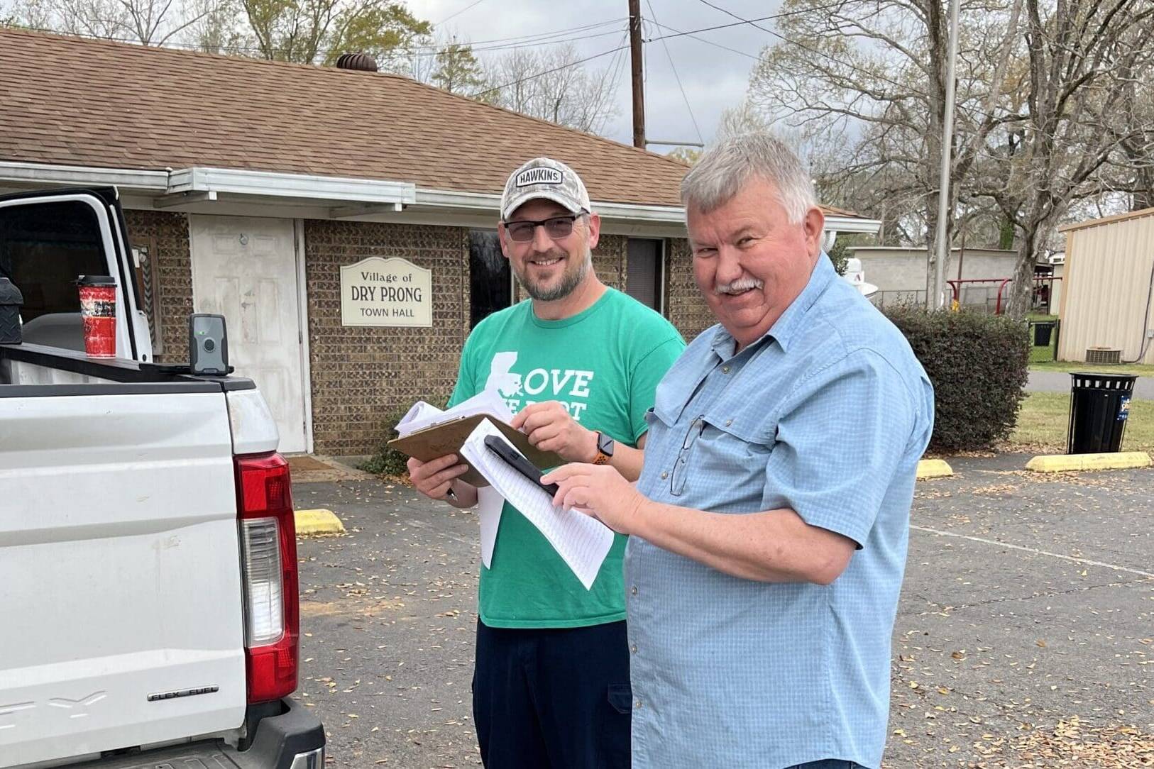
Staying Power
For decades, the people running the Village of Dry Prong’s water system in Grant Parish, Louisiana — a small community…

Mapped Future
When broadband construction was scheduled to begin in the small town of Willisville, Arkansas, located in Nevada…
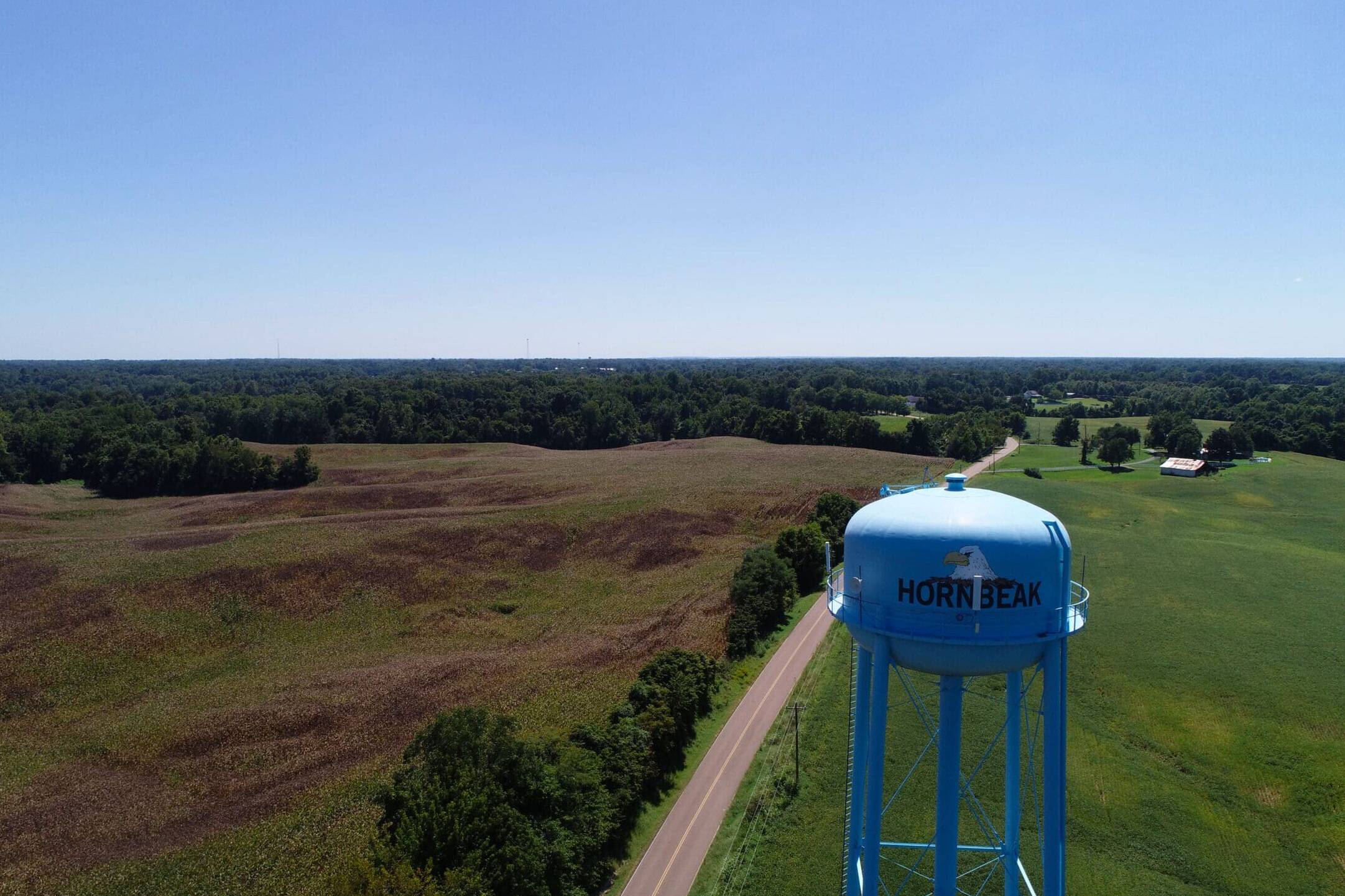
Reliable Together
Along the edge of Reelfoot Lake in northwest Tennessee, the neighboring communities of Elbridge and Hornbeak in Obion…
Mapped Forward
Serving 313 connections in Arcadia, a town of more than 2,500 people in Bienville Parish in north-central Louisiana,…

From Adversity to Comeback
By the time Michele Henegar first walked into the office at Siam Utility District, the problems were so deep that even…
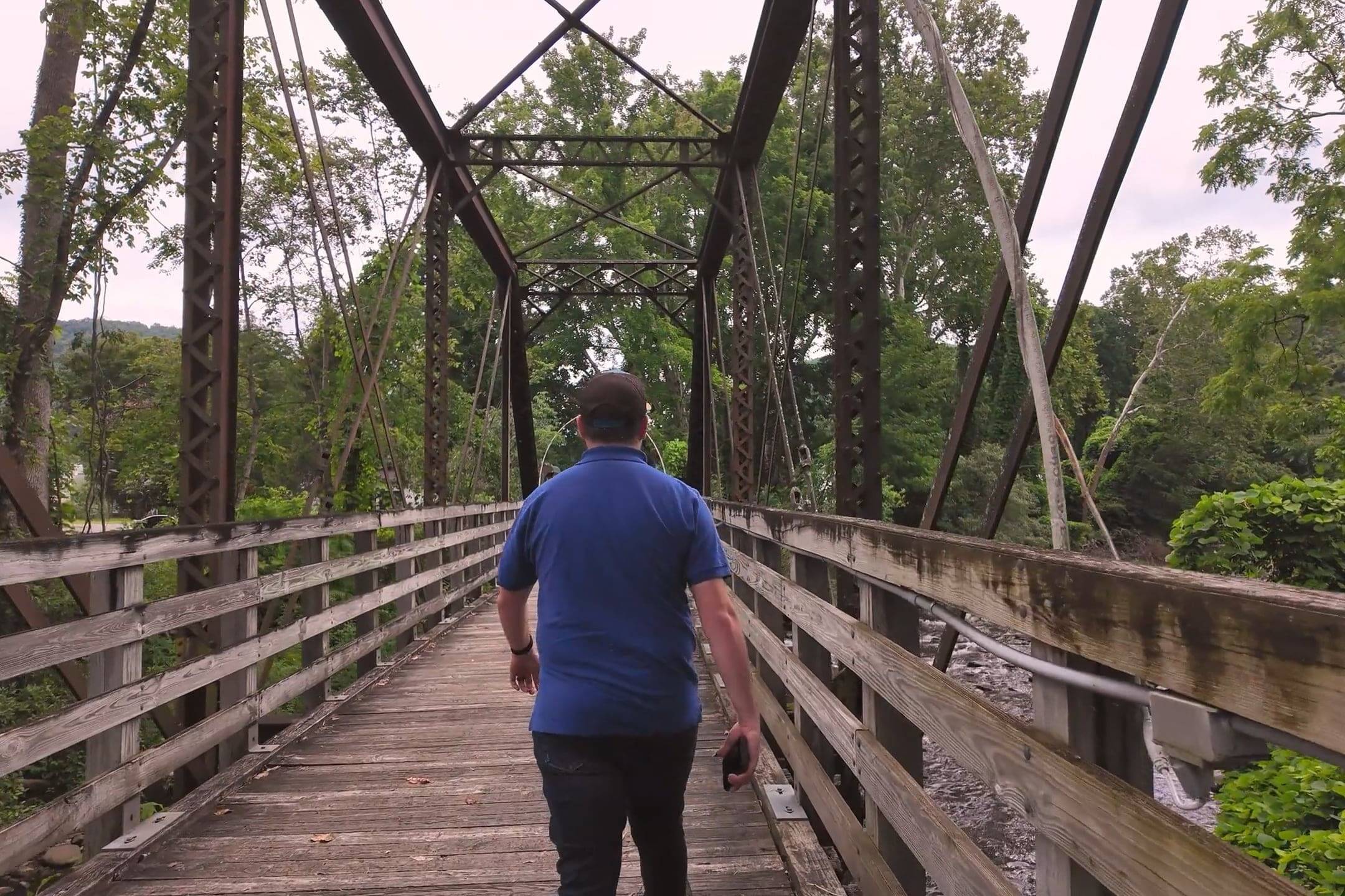
From Rails to Trails
In the shadow of the Blue Ridge Mountains, Johnson County leaders and the Geographic Information Systems…
Delta Revival
In the Mississippi Delta town of Marks, where rich soil meets deep-rooted challenges, Big Field Water Association is…
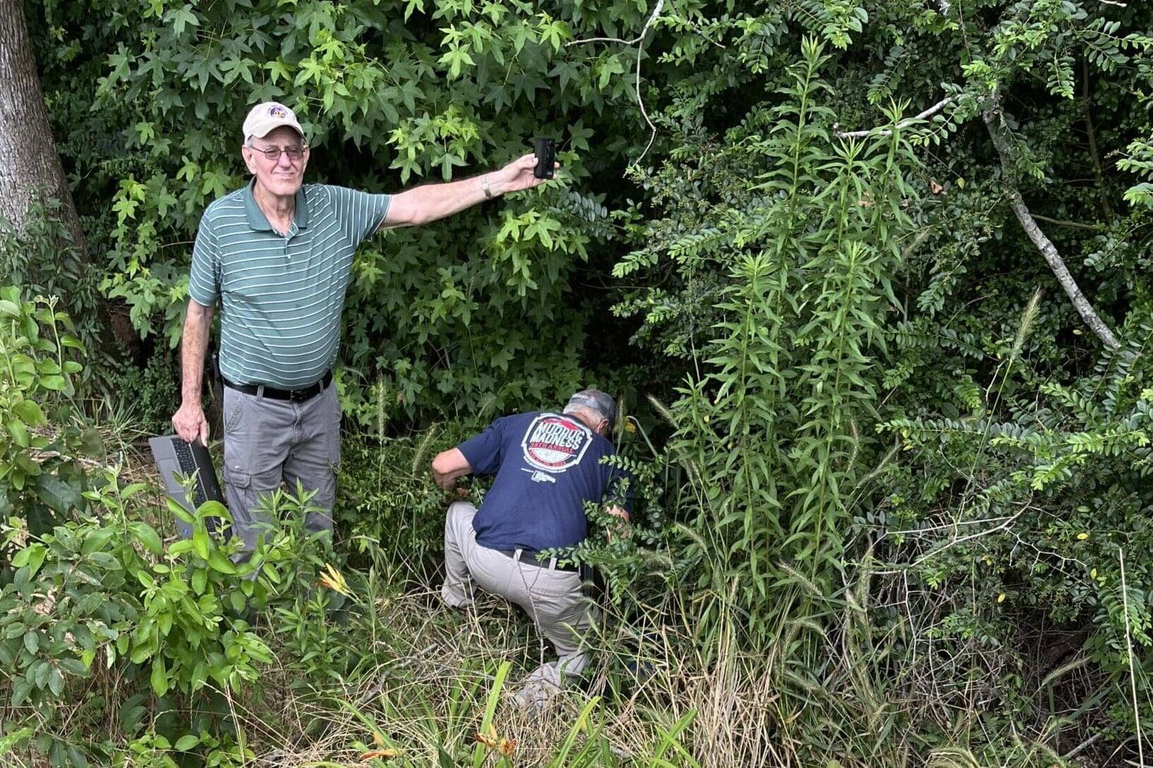
Preserving the Past, Digitally
A small-town cemetery with deep roots in southeastern Oklahoma’s history is now one of the most precisely documented…
Waldron Rises
Nestled in the Ouachita Mountains near the Oklahoma state line, Waldron, Arkansas, is a small town in Scott County with…
Communities Unlimited Launches New GIS Loan Program to Support Mapping Projects
bnvRural communities often struggle to access critical Geographic Information Systems (GIS) mapping services, relying…

Blending Resources for Lasting Impact
Telling the story of how Communities Unlimited (CU) collaborates with a community over two decades is no small task,…
Mapping a Path to Recovery
When an EF-4 tornado tore through Rolling Fork, Mississippi, located in Jones County, on March 24, 2023, it left behind…